GIS and Information Technology
The (name of) technology has been really helpful for our staff because it is easy to operate and reliable, The GIS folks from MVPC are always ready to help if we have any issues.
Utility Operation and Maintenance Applications
The GIS Program at MVPC has developed system to support the operation of utilities including the municipal electrical network, a restaurant inspector to help manage the elimination of fats, oils and grease for the sewer utility and a water system flushing application to manage unidirectional flushing for water departments. These are just a few examples of how mobile technology can lead to more efficient operation of utilities and better transparency with the general public.
GPS Vehicle Tracking
Merrimack Valley communities are under increasing pressure to maximize the efficiency of their operations. One newer technology municipalities are implementing is GPS (Global Positioning System) vehicle tracking. The new vehicle-based GPS tracking devices help manage vehicle routing during snow events but also provide real-time positioning that managers can use to better respond to emergencies. Because the GPS devices connect to vehicle information systems, they can also be used to alert preventative maintenance needs and provide input on vehicle performance.
Pictometry Oblique Imagery System
MVPC leads the country in acquiring and utilizing oblique angle aerial imagery. We proudly stake our claim to be the first regional agency nationwide to acquire Pictometry imagery for regional deployment. This imagery provides a unique, oblique-angle view from all four points of the compass. Many of our municipalities find Pictometry images to be an invaluable tool in their daily functions. From planning to public works, the ability to visualize and analyze any location, using unique views and angles, from the computer desktop is a unique resource.
Oblique refers to the angle at which an image is captured. Unlike traditional satellite (top-down) imagery, the planes capture high-resolution images at a 40-45 degree angle, rendering structures and objects easier to identify and analyze. By capturing images at this angle, Pictometry imagery reveals greater detail, enabling users to see different views of structures or areas and notice relevant details such as street lights, fire hydrants and other municipal infrastructure and is used as the base map for MVPC’s mobile applications.
Story Maps
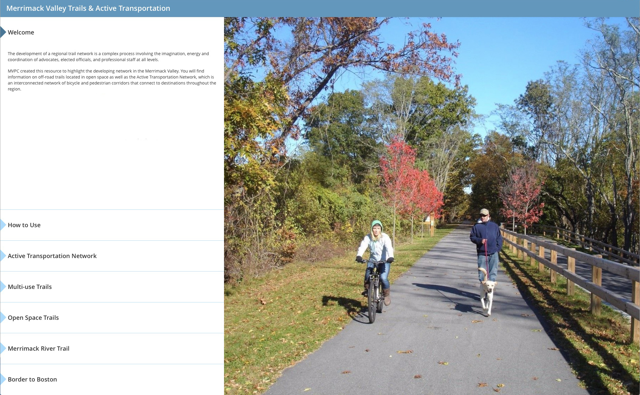
MVPC story maps utilize text, high-resolution images, videos, mobile applications and interactive maps to tell the story of projects in the Valley. The themes come from a variety of disciplines including Annual Reports, Trail Mapping, Park & Ride Lots, Traffic Count locations and our most recent Municipal Vulnerability Preparedness (MVP) program. Find our story maps in the resources section of this website.

Interactive Storymaps
Storymaps are just one of the tools highlighted in our Resource Center.
MVPC’s GIS staff are trusted technology experts for the region.
